
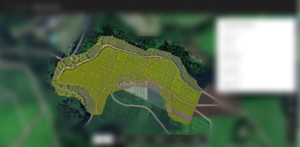
1.🌾 RGB Ortho Map – The Farmer’s Clear Eye in the Sky
- Timothy Baraka
- Aug 21, 2025
- 1 min read

Unlike outdated satellite images, an RGB Ortho Map gives a real-time, true-color view of your field in high definition.
✅ Highlights field topography, crop distribution & visible anomalies
✅ Identifies hazards such as power lines or access roads for safer mission planning
✅ Serves as the reference layer for multispectral and NDVI/GNDVI analysis
Recommendation: Use RGB maps to draw accurate field boundaries, spot hazards, and guide focused multispectral analysis.


Comments